Mapping
I have spent a good deal of time with the excellent QGIS project, using it for both professional and personal projects. It works very well with PostgreSQL, where the PostGIS extension is second to none.
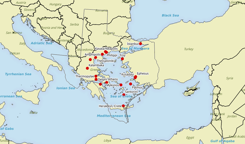
When you are taking a trip to the Aegean Sea with a bunch of Texans, what could be better than a map that compares the area around the Aegean to the size of the state of Texas?
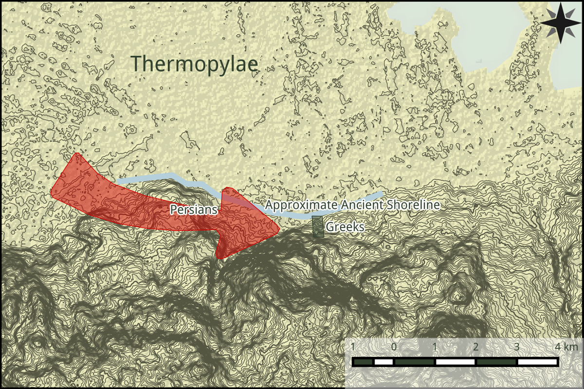
A good old fashioned contour map helps with the battle at Thermopylae. Remember the 300 Spartans? “Come and take it!”
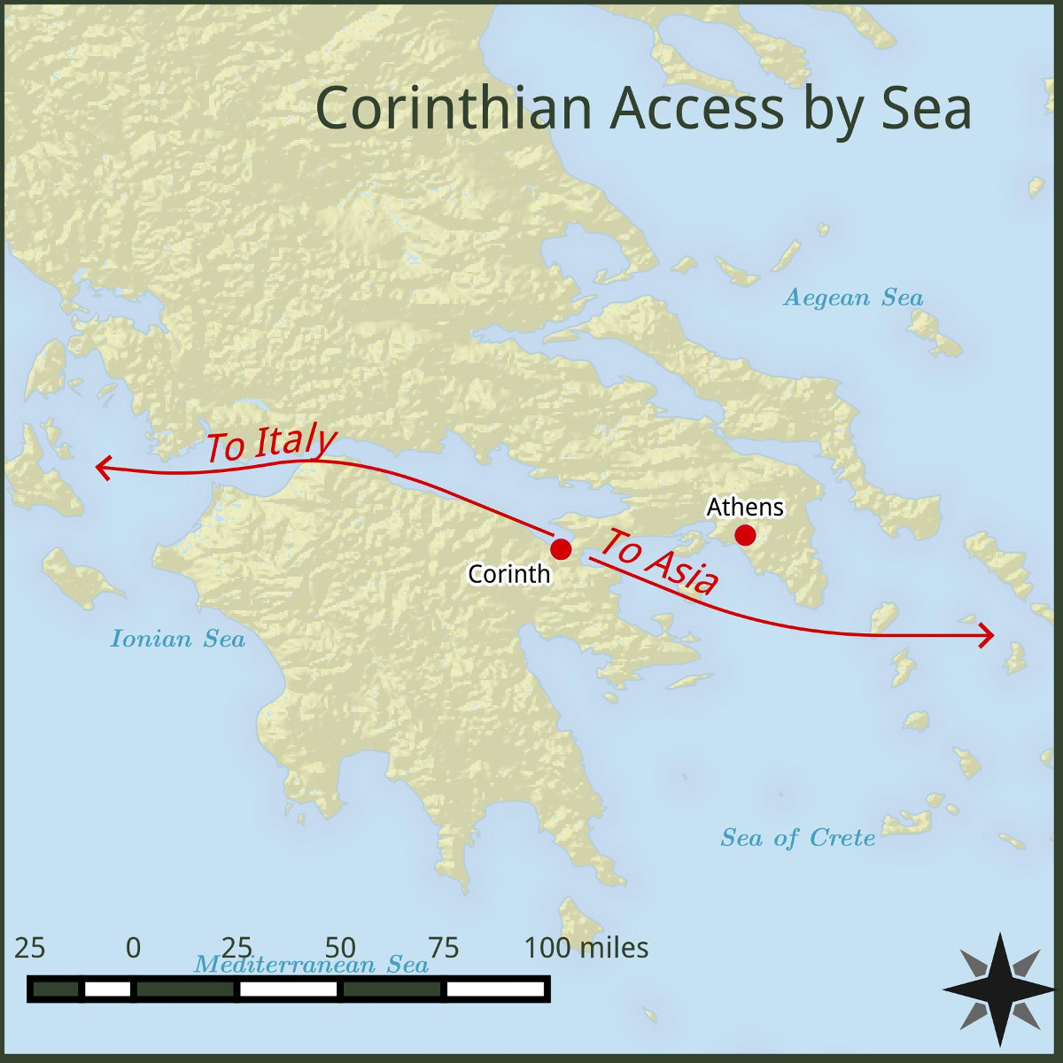
Sometimes you have to explain why Corinth was significant.
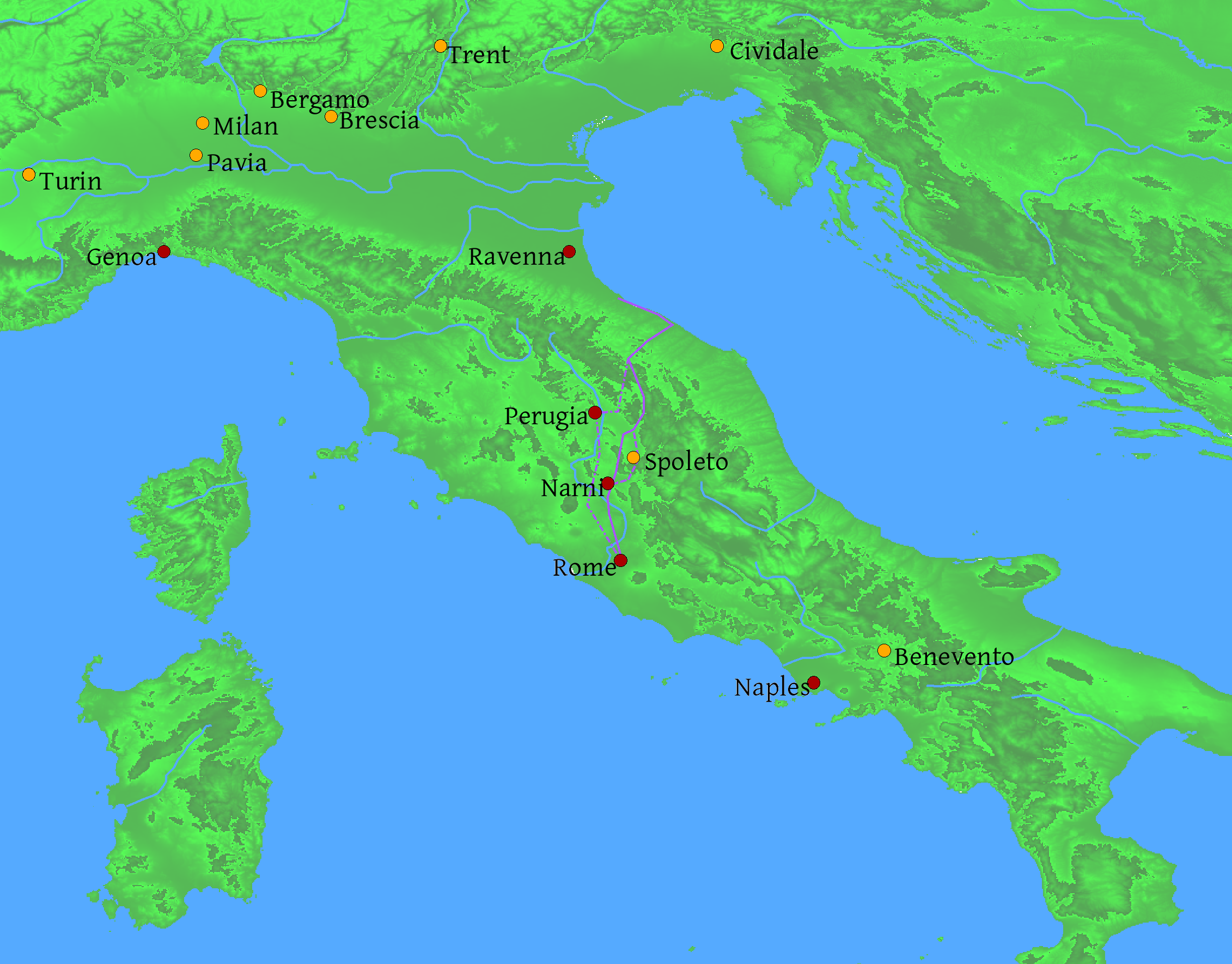
And just for fun a map of Italy in the late 500’s as the Lombards (cities in yellow) retook Italy from the Byzantines (cities in red). The “dark ages” should always be represented with a bright map, right?